Table of Contents
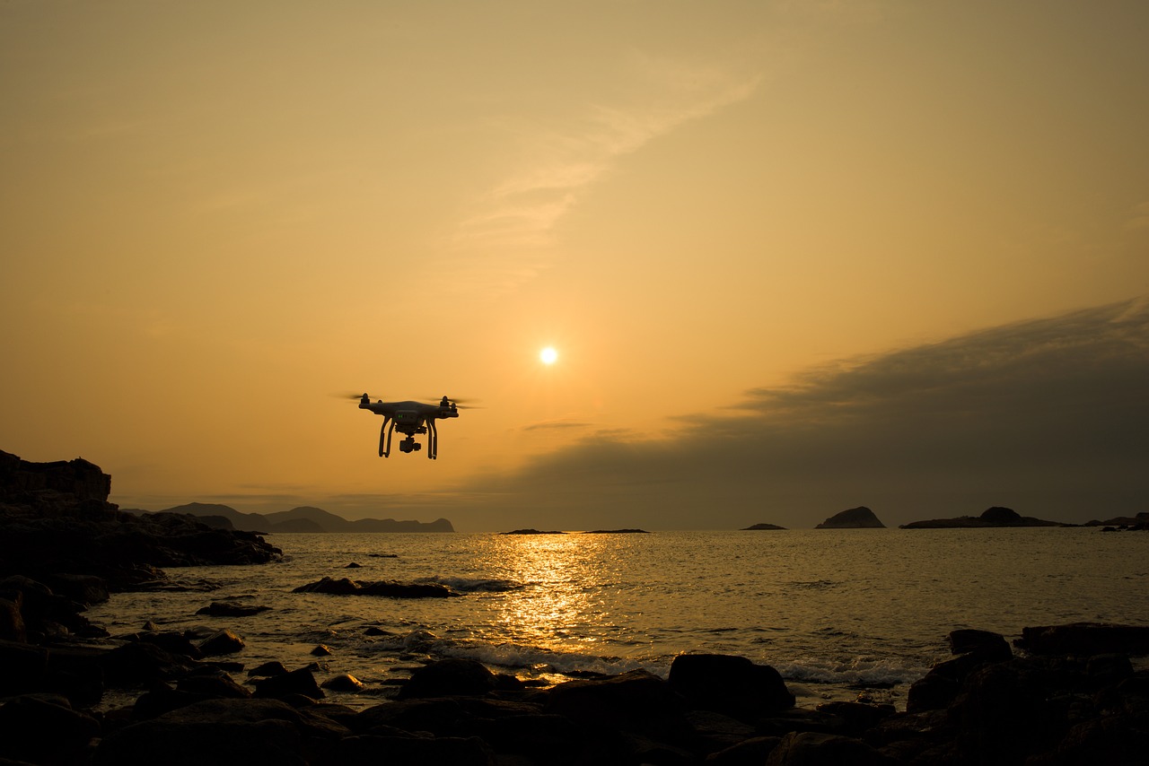
In recent years, drones have surged in popularity across the globe, with their use spanning from recreational activities to commercial applications. However, with the rapid increase in drone sightings, concerns about airspace security and misidentifications have also risen. This is particularly true for the Northeastern United States, where local authorities are investigating reports of large, unidentified drones appearing in the sky, sparking public concern. Amid this growing issue, experts are encouraging the use of flight-tracking apps as a way to distinguish between actual aircraft and potential drones, which can help mitigate confusion and streamline airspace monitoring efforts.
The Rise in Drone Sightings
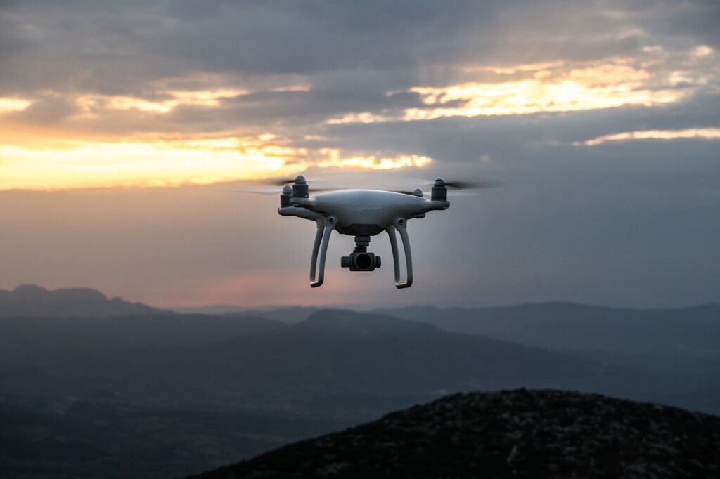
Reports of large, unknown drones appearing in the skies of several U.S. states, such as New Jersey, New York, and Pennsylvania, have increased sharply since mid-November 2024. These reports typically come from residents who claim to have seen unusual aerial activity, especially during the night hours. While drones can be used for a wide variety of purposes, from surveillance to package delivery, these sightings have often resulted in airspace disruptions, with concerns growing around aviation safety.
In response, the Federal Bureau of Investigation (FBI) and other agencies have been working tirelessly to investigate these claims and understand the origins and intentions behind these drone-like sightings. It is important to note, however, that many of these reports have turned out to be misidentifications of regular aircraft, satellites, or even celestial bodies, as objects like stars can sometimes appear to move in the night sky under certain conditions.
Misidentifications and Public Perception
The issue of misidentification plays a significant role in the growing concerns about drone sightings. Often, stationary objects such as stars, aircraft lights, or other bright points in the sky can appear as moving drones to the untrained eye. This phenomenon can be exacerbated by certain visual effects, such as parallax and autokinesis, which create the illusion of movement when observing fixed objects from a distance.
Additionally, the widespread media coverage of these incidents can lead to a heightened sense of awareness among the public, prompting individuals to report what they believe to be drone sightings. This is where confirmation bias comes into play—people are more likely to believe they’ve seen a drone if they have already heard about similar reports or if they are already expecting to see one.
This creates a challenge for authorities, who must distinguish between legitimate drone-related incidents and false alarms, which take up valuable resources and time. This is where flight-tracking apps can play a crucial role.
The Role of Flight-Tracking Applications
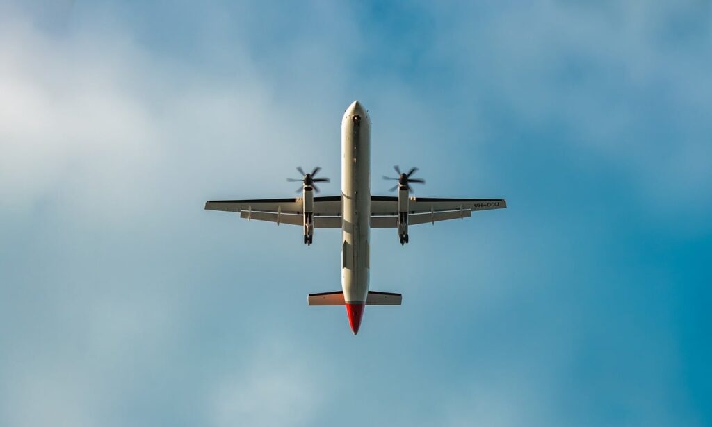
Flight-tracking applications have become an essential tool in helping the public identify aircraft and drones in their vicinity. These apps are designed to provide real-time data on the positions of aircraft that are registered and following a flight path. By cross-referencing sightings with app data, users can determine whether what they are seeing is a registered aircraft or possibly something else.
The use of flight-tracking apps enables individuals to make better-informed decisions and can help prevent unnecessary reports of drones that are actually commercial or private aircraft. As more people become aware of these tools, the likelihood of misidentifications can be reduced, allowing authorities to focus their efforts on actual threats.
Popular Flight-Tracking Applications
Several flight-tracking applications are available for download, offering a wide range of features to help users track aircraft. Here are some of the most popular options:
- Flightradar24: One of the most well-known flight-tracking apps, Flightradar24 offers real-time tracking of aircraft around the world. Users can access detailed information about each flight, including the aircraft type, flight path, altitude, and speed. The app also provides a history of flight data, which can be helpful in analyzing past flights.
- FlightAware: FlightAware is another popular app that allows users to track live flights and receive real-time updates about flight statuses. The app also offers alert systems, which notify users of flight changes, delays, and other important updates.
- Plane Finder: Plane Finder is a unique app that uses augmented reality (AR) to allow users to point their smartphone at an aircraft in the sky and instantly receive information about the flight. This can be especially useful in identifying an aircraft and distinguishing it from potential drones.
- ADS-B Exchange: Unlike other apps, ADS-B Exchange offers unfiltered flight data from aircrafts equipped with Automatic Dependent Surveillance-Broadcast (ADS-B) transmitters. This gives users access to comprehensive flight tracking without any restrictions on the data.
How Flight-Tracking Apps Work
Flight-tracking applications rely on Automatic Dependent Surveillance-Broadcast (ADS-B), a system that allows aircraft to broadcast their position and other relevant information to ground-based receivers and satellites. These systems transmit information such as the aircraft’s altitude, speed, and identification code, which are then processed and displayed to users in real-time through the app interface.
While ADS-B technology was initially developed for air traffic control purposes, it has become a vital tool for civilian aircraft tracking, allowing anyone with access to the system to monitor flights. Flight-tracking apps aggregate and display this data, making it accessible to the public in an easy-to-understand format. Users can view flight paths, identify aircraft by their flight number, and gain insight into the types of aircraft operating in their area.
Limitations of Flight-Tracking Apps
While flight-tracking apps are powerful tools, they do have limitations, especially when it comes to identifying drones.
- Unregistered Drones: Many consumer drones are not equipped with ADS-B transmitters, which means they will not appear on flight-tracking apps. This poses a challenge for users trying to identify whether an object in the sky is a drone or a registered aircraft.
- Private and Military Aircraft: Some private aircraft and military flights may have their flight data restricted or intentionally omitted from public tracking systems for privacy or security reasons. This means that not all aircraft will be visible on flight-tracking apps.
- Signal Interference: Flight-tracking data can be affected by geographical features such as mountains, buildings, or even adverse weather conditions. These factors can interfere with the transmission of signals, resulting in gaps or inaccuracies in the flight data displayed in the apps.
Enhancing Drone Identification
Although flight-tracking apps are useful in tracking aircraft, they are not designed specifically for identifying drones. However, advancements in radar and drone detection technologies are on the horizon, which could improve the ability to track and identify drones. One promising approach is the use of passive resonant scatterers attached to drone rotor blades. These devices would create unique micro-Doppler signatures that radar systems could detect, making it easier to distinguish between drones and aircraft.
Such innovations could vastly improve drone detection capabilities and lead to the development of more advanced systems capable of accurately identifying drones in real-time. In the future, we may see integrated systems that can track both manned aircraft and unmanned aerial vehicles (UAVs), ensuring better airspace management and security.
Public Education and Awareness
One of the most important aspects of mitigating drone sightings is educating the public on how to properly identify objects in the sky and how flight-tracking apps work. Educating people on the capabilities of these tools, as well as how to interpret the data they provide, can lead to more accurate reporting and less confusion.
By understanding that not every light in the sky is a drone, individuals can avoid jumping to conclusions and unnecessarily alarming authorities. Officials have stressed the importance of critical observation and encourage people to verify sightings using available tools, such as flight-tracking apps, before reporting them.
Conclusion
The surge in drone sightings has highlighted the need for reliable and effective methods for distinguishing between various aerial objects. Flight-tracking apps play an essential role in helping the public identify registered aircraft, reducing misidentifications, and assisting authorities in addressing legitimate drone-related concerns. As technology advances, combining flight-tracking tools with better drone detection systems will enhance our ability to monitor and manage airspace more effectively.
Through continued education and the adoption of these tools, we can ensure safer skies and better airspace management, reducing unnecessary disruptions and ensuring that authorities can focus on genuine threats to aviation safety. With the right mix of technology and public awareness, we can continue to enjoy the benefits of drones while minimizing the risks they may pose.

